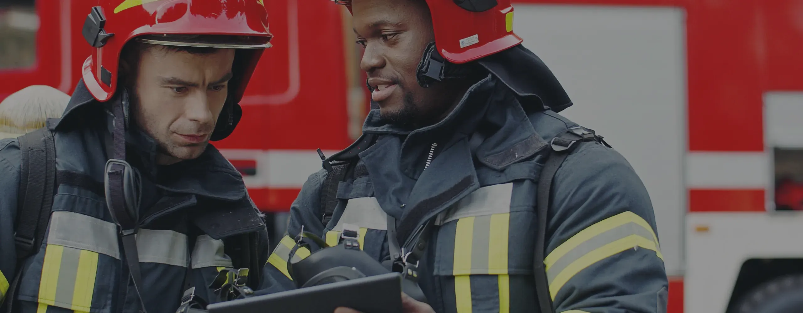
Mappedin for Firefighters
Building mapping software for fire departments & first responders
Create interactive digital maps of buildings in a matter of minutes. No mapping experience required.
Products
Solutions
Developers
Resources

Mappedin for Firefighters
Create interactive digital maps of buildings in a matter of minutes. No mapping experience required.
Mappedin has a wide range of mapping features for fire departments to take advantage of. First responders can make user-friendly maps for operations, pre-planning, and safety inspections. Our maps are designed to make it easy to assist in navigating, searching, annotating, and sharing in real-time.
How can fire departments benefit from digital mapping software?
Fire departments can benefit significantly from digital mapping software by having access to detailed and up-to-date layouts of buildings and infrastructure. This technology allows firefighters to pre-plan their response more effectively to understand critical information such as the locations of exits, stairways, elevators, and utility shutoff. Additionally, real-time updates and integration with other data sources enhance situational awareness, improve coordination, and ultimately increase the safety and efficiency of fire response operations.
How does Mappedin's mapping software improve emergency preparedness?
Mappedin's mapping software improves emergency preparedness by providing detailed, real-time indoor maps that help first responders and facility managers pre-plan for emergency incidents. AI mapping tools improve the efficiency of converting floor plans to fully interactive 3D maps. This helps firefighters to understand a building's layout and important access points. By integrating with other emergency management systems, Mappedin indoor maps can improve situational awareness.
Can digital maps help fire departments track equipment during emergencies?
Yes, digital maps can help fire departments track equipment during emergencies when paired with location-tracking technology. By providing real-time location data, an application can be created to display where equipment and or personnel are. This technology enables firefighters to quickly locate essential tools, vehicles, and resources, ensuring efficient deployment. Contact us to learn more about this type of solution.
How can indoor mapping software enhance situational awareness for first responders?
Indoor mapping software enhances situational awareness for first responders by providing detailed and up-to-date layouts of building interiors, including key features such as exits, stairwells, utility shutoffs, and hazardous areas. This real-time information allows first responders to pre-plan and understand unfamiliar environments quickly and efficiently to make informed decisions during emergencies. Other data sources, such as security cameras and sensors, can be integrated into a custom application to offer a comprehensive view of buildings. Get in touch with us to learn more.