How can you use blue dot navigation in your stadium or arena to deliver an unforgettable fan experience? Keep reading to find out.
What is blue dot navigation?
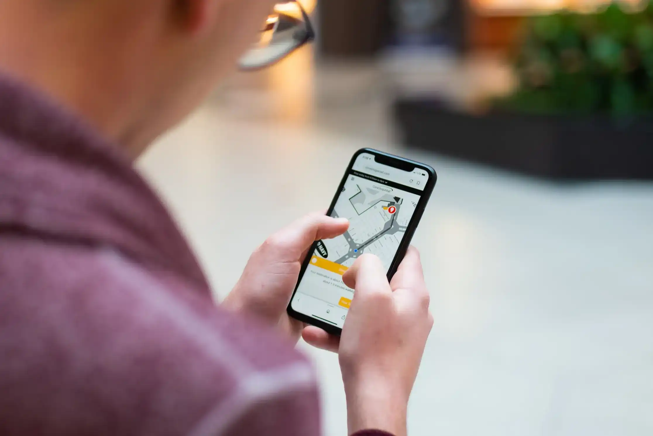
Blue dot navigation refers to the blue circle seen on popular navigation apps such as Google and Apple Maps, which represents your location within a space. As you move, the blue dot updates to reflect your current location. Real-time navigation updates are the difference between blue dot technology and other wayfinding solutions.
Indoor positioning system (IPS)
An indoor positioning system (IPS) can be thought of as GPS for indoor venues. Using a variety of methods, these systems can detect real-time locations to determine the coordinates of people or assets inside a building. These coordinates are typically represented visually by a blue dot on a digital indoor map to provide wayfinding and additional context to users.
Why use blue dot navigation for stadiums?
At their core, fans want a seamless and stress-free trip to see their favourite artist perform or team play. A digital map not only provides important information and simple directions, but with accurate positioning and easy-to-maintain location data, stadiums can layer additional experiences such as parking and wait-time software, in-seat experiences, push notifications, proximity marketing and more. For instance, Okinawa Arena enables guests to locate the closest restroom, view wait times, and populate directions directly from their seats.

3D responsive map
Mappedin's web solution has been optimized for mobile and desktop devices so that users can access your stadium map regardless of their location. Features such as smart search, mobile pass, blue dot positioning, and smart labels make it easy for fans to find their seat and other services before the event.
Save my seat
Guests can save their seat section's location on the interactive digital map right from the web browser of their mobile device. This feature makes exploring your stadium, its retailers, and amenities a stress-free process. Fans can quickly locate their seat again with the click of a button.

Seat view gallery
Through integrations with your ticketing provider, not only can fans use your digital map on game day, but far in advance to help them choose their seats. Sports stadiums can showcase seating blocks in the map and allow fans to see an accurate view from their section. Highlight important information and showcase seat view photos so that your visitors know exactly what to expect.
Smart search
Mappedin's Smart Search is powered by AI and offers predictive results as users type, minimizing the number of keystrokes to find a location. Top locations are featured near the search bar and highlight the most popular destinations at your venue.
Versatile floor plans
Mappedin's flexible platform makes it easy for sports venues and arenas that host different events to manage and maintain each of the unique floor plans. Whether your stadium floor plan is a single level or multiple levels, you can ensure consistency between your maps. Our Map Editor stores multiple layouts of your venue in one simple tool, giving you the ability to easily switch between different event layouts.

Dynamic venue tools
Within Mappedin’s Map Editor, you can apply the same core and structural elements of your venue across all maps, while having the flexibility to change to seating charts, retailers, concession stands, and activities for each of your event types. With the ability to save each of these event types and layouts, it's never been easier to update the map showing on your website or mobile app, ensuring fans are using the right map to navigate to their seat, amenities, services, and more.
Branded experience
Customize your digital stadium maps to match your branding, ensuring a seamless experience for visitors. You can also tailor your stadium wayfinding signage design to match a specific event or game that occurs at your venue.
Easy integration
Mappedin’s wayfinding SDKs for stadiums are highly integratable with other datasets and technologies. Our Mapping SDKs provide the core elements of a digital map and wayfinding experience. These are used to create custom mapping experiences and can be integrated into existing mobile applications or used to customize wayfinding signage at your stadium. For instance, by integrating a stadium floor plan into a stadium wayfinding app, fans are able to get an accurate view of your venue while also browsing ongoing deals and events, concession hours, and more.

Insights & analytics
Gain a better understanding of how fans move through and discover your venue with the Mappedin Analytics Dashboard. Track searches and location selections to see what your visitors are looking for and use this information to drive increased foot traffic and revenue at your stadium. For instance, if a large majority of your visitors are searching for a specific vendor at your stadium, you may consider adding it.
Provide fans with personalized offers
Mappedin's platform can be integrated with indoor positioning technology to provide turn-by-turn navigation to visitors and further enhance the user experience. Through your stadium map and proximity marketing, send push notifications and personalized offers to fans about events, food, and merchandise promotions, suggested parking lots and entrance gates, and more.
In-seat experiences
Stadiums can use the combination of a digital venue map and indoor positioning systems to offer additional experiences to fans. Through a venue mobile application, fans can pre-order food for pick-up or have it delivered right to their seats. Arena wayfinding apps with a focus on fan engagement might also include discussion boards, live stats, game alerts, and personalized deals and discounts that fans at home don’t have access to. These in-seat experiences can encourage future ticket purchases or increase sales at retailers across your stadium.

Allow visitors to find their way on arrival with interactive kiosks and digital maps
Whether you want to create custom wayfinding kiosks, add mapping to your venue’s website, or integrate it as part of a larger mobile app, you can provide visitors with a powerful and accurate navigation experience upon arrival. Digital indoor maps for stadiums and arenas make it easy for fans to locate parking, seats, restrooms, vendors, and more.
What sets Mappedin apart?
With Mappedin’s platform, you can save time maintaining your maps while creating a best-in-class wayfinding experience for visitors. Highlight the services and vendors available to your fans, making it easy for them to discover all that your venue has to offer. By layering in proximity marketing to this experience, you can send push notifications based on the visitor's indoor location or past preferences, further tailoring the fan experience. With extensive experience in indoor mapping, mall wayfinding, office wayfinding, airport wayfinding, campus wayfinding and more, the Mappedin platform can create innovative indoor mapping experiences for your stadium or arena.

Blue dot navigation for stadiums frequently asked questions
Can Google maps work indoors?
Google Maps uses the most common type of navigation device technology - GPS. Global Positioning Systems leverage satellites to pinpoint a location geographically. While the Google Maps technology provides accurate information about basic floor plans and outdoor navigation, its positioning feature and wayfinding solutions for indoor spaces are limited.
What are the drawbacks of using Google maps for your indoor maps?
Google Maps fall short when it comes to navigating the indoors. With GPS technology, Google Maps’ efficacy for indoor positioning and indoor navigation is extremely limited. To create your indoor maps, you can choose innovative mapping providers like Mappedin whose technology is designed to integrate with an indoor positioning system (IPS), enabling accurate blue dot wayfinding.
How does indoor positioning system without beacons work?
Infrastructure-free systems do not require beacon technology and rely solely on a user's mobile device and the WiFi within a venue. Apple’s indoor positioning is an example of this as it uses your existing WiFi to achieve GPS-level accuracy in indoor spaces by using the radio frequency (RF) patterns of your WiFi access points. Infrastructure-free in this case is a cost-effective solution. Positioning systems that utilize hardware such as beacons can be implemented to supplement infrastructure-free solutions but can come with a large price tag to set up and maintain over time. Contact us to learn more.
Tagged In
Share


