With Mappedin’s multi-building navigation built into its indoor mapping and wayfinding platform, you can enable visitors to seamlessly navigate between and within your venue buildings. Find out how this technology works, why it’s beneficial, and how to start implementing an indoor navigation system today.

What is multi-building navigation & how does it work?
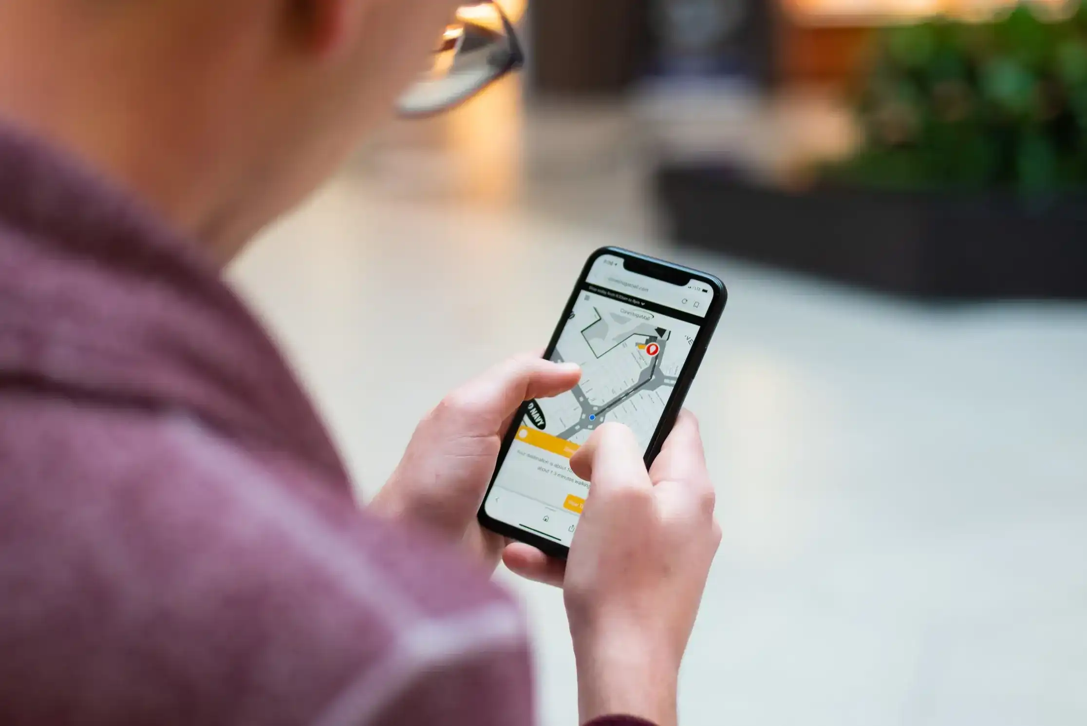
Multi-building navigation enables users to populate directions between buildings and the locations within them. With a digital map and an indoor-outdoor navigation system, users can get directions from point A to point B, whether that be a location inside a building or the building itself. Pathing is added to the digital map to create the most efficient routes throughout a venue. With the addition of blue dot, the navigation experience is taken a step further by enabling users to view their real-time location as they move through a venue.
Seamless indoor-outdoor navigation
An indoor-outdoor navigation system with a digital map enables users to search, discover, and populate directions between indoor and outdoor components of a venue. Users can seamlessly travel between buildings and outdoor locations, such as retail outlets or campus buildings, as well as the varying levels of floors or rooms located inside them.
Multi-building positioning
Indoor positioning systems take multi-building navigation to the next level. This technology enables you to view your precise location on a digital map and obtain turn-by-turn directions to various points of interest. This eliminates the need to add a “Start” destination when navigating between and within buildings.

Mapping and localization technologies
Mapping and localization technologies can be used to better understand indoor spaces and outdoor environments. Maps are essential when visiting a venue because they help guests visualize the space and everything it contains. With a digitized map, these visualizations are interactive, so guests can pan, rotate, zoom, and explore indoor and outdoor locations with ease. This enables guests to get acquainted with your venue and orient themselves within it.
Path-planning technology
Path-planning in navigation is used to construct a path from a starting point to an endpoint on a dynamic map. With multi-building navigation, start and endpoints can be the buildings themselves as well as the locations and services within them.

Flexible solutions to serve any industry
A wide range of industries can benefit from multi-building navigation and an indoor navigation system. These include colleges and university campuses, offices, malls, airports, resorts, healthcare institutions, as well as any venue with indoor spaces and an outdoor environment.
Colleges and universities
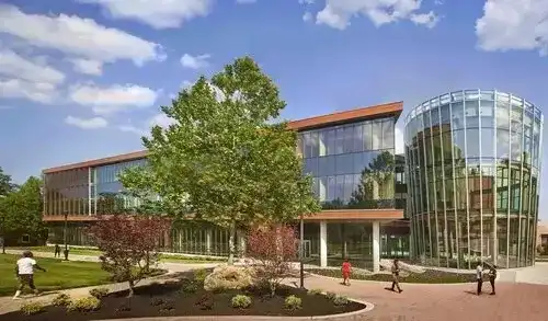
University and college campuses are often large, confusing, have many buildings, indoor spaces, and outdoor environments. These include campus buildings, dorm rooms, lecture halls, classrooms, bookstores, vendors, and a lot more. Implementing a digital map and navigation system through a mobile app or Digital Directories help students navigate between facilities and locate an upcoming class or nearby food vendor with ease.

Offices
3D office maps with navigation enable employees and guests to quickly get acquainted with their surroundings as they pan, zoom, and rotate the interactive display. Individuals can access turn-by-turn directions to office buildings, departments, conference rooms, amenities, and everything in between — from any device. This seamless indoor-outdoor navigation eliminates confusion and allows users to plan their routes on-the-go while heading to their next meeting.
Malls
A navigation system is extremely important for standalone shopping centres and retail outlets, as well as malls located within airports, resorts, amusement parks, or mixed-use spaces. Interactive mapping and navigation solutions allow shoppers to populate directions between retailers, restaurants, shops, and services available on the property, while delivering valuable insights back to mall managers.

Airports
With a robust indoor mapping platform on-hand, travellers can enjoy seamless indoor-outdoor navigation at airports, bus stations, railway stations, and all other transit hubs. A navigation system can reduce passenger stress and enhance the overall travel experience by providing the fastest route to parking, boarding gates, shuttles, retailers, and individual buildings.
Resorts
With so many locations to visit at resorts and theme parks, guests can easily feel disoriented during their trip. A digital indoor mapping platform can create stunning, interactive maps for visitors to search and explore indoor spaces and outdoor locations with ease. From parking, to attractions, services, and indoor activities, guests can be offered an end-to-end wayfinding experience. A huge advantage to this navigation technology is that it can be implemented anywhere, from Digital Directories, to mobile applications and web. You can also help guests access maps through printed materials such as brochures or signage around the resort or theme park.

Hospitals & healthcare
Hospitals and healthcare facilities can use multi-building navigation to reduce confusion, and put patients and visitors at ease. Dynamic visuals and easy to understand directions make it simple for patients, visitors, and volunteers to populate directions between buildings as well as throughout them. In this way, users can enjoy seamless wayfinding from their car, to their appointment, and back.
Why is multi-building navigation important?
Several venues require an outdoor context map, as well as indoor maps for individual buildings. This is especially true for city districts, campuses, amusement parks, offices, mixed-use spaces, or venues with multi-storey buildings and facilities. Multi-building navigation enables users to efficiently locate what they’re looking for, and navigate seamlessly through indoor and outdoor components. Buildings, floors, rooms, stores, services, amenities, you name it. For instance, Hudson Yards uses multi-building navigation to enable guests to navigate between shops, restaurants, offices, hotels, and more.

Benefits of multi-building navigation
Multi-building navigation is extremely beneficial because it helps close the loop when navigating between and within buildings. Venues can showcase an outdoor map with all of their buildings and architectural features, along with maps of the interior of each building, without compromising the user experience. Visitors can pull up a digital map of a venue and search for a building or a location within a building, and navigate seamlessly through indoor spaces and outdoor environments. While providing a more intuitive navigation experience for users, it also ensures maximum visibility of a venue.
How to implement a multi-building navigation system
A multi-building navigation system starts with a digital map. You will want to choose a reliable mapping software provider, like Mappedin, that has extensive experience creating venue maps for facilities of all sizes. The service provider must be able to map both indoor spaces and outdoor environments, offer seamless indoor-outdoor navigation, and can integrate seamlessly with your existing website and apps.
Safety and security
Accurate digital maps and efficient indoor-outdoor navigation is extremely important for safety, security, and disaster management. Digital maps display important safety information such as entrances and exits, fire alarms, first aid or defibrillation kits, the location of security personnel, private or secured areas, and so on. Users can quickly locate and populate directions to key locations at a moment’s notice. This technology can also help with decisions over the positioning of security personnel, security cameras, fire alarms, and other resources. When integrated into a mobile application, venues can send safety and security alerts and notifications directly to mobile users.
What sets MappedIn apart?
Mappedin is the leading provider of digital indoor mapping software. Our platform provides powerful indoor-outdoor navigation experiences and the Mappedin CMS serves as the foundational layer. You can make edits to your interactive map one time and deploy those changes in real-time across all platforms. Building details and new facilities can all be updated simultaneously across building directories, digital signage, website, and mobile applications.

To help support venues with indoor and outdoor spaces, we’ve recently made improvements to the multi-building wayfinding experience. Mappedin has the ability to not only route users within buildings, but between them using the most efficient path.
Multi-building navigation FAQs
What is multi-building wayfinding?
Multi-building wayfinding enables users to populate outdoor and indoor route instructions between and within a venue’s buildings and facilities. Visitors can search for a building or a location, and seamlessly navigate between indoor and outdoor environments, providing an end-to-end wayfinding experience.
Can GPS work indoors?
GPS signals work best in outdoor environments and are limited in indoor spaces. With the absence of a GPS signal, devices must rely on indoor positioning to pinpoint the indoor location of a user and provide indoor routing. There are several technologies available, including beacons, wi-fi, RFID, and geomagnetic, to understand this real-time position as people navigate through a venue.
How much would it cost to build a multi-building navigation system?
How much will it cost to implement, own, and maintain a multi-building navigation system? This is a key topic that requires additional information. Contact us to find out more about specific costs and timelines.
Tagged In
Share


